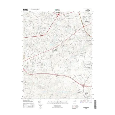
2016 Map of Chesterfield
USGS Topo · Published 2016About this map
Chesterfield Court House serves as the administrative anchor of this suburbanizing landscape south of Manchester. The map reveals a transition from traditional rural hubs like Five Forks and Hylton Park to established residential developments including Brandermill, Rockwood, and Lake Crystal Farms. This shift is emphasized by the presence of modern infrastructure like the Richmond Executive-Chesterfield County Airport and regional education centers such as the ITT Technical Institute - Richmond Campus.
Find a feature on this map
51 named features on this map. Tap any name to fly to it.
Don’t see what you’re looking for? This feature index may not catch every label — zoom into the map to look around manually.
Map Details
Editions of this 2016 Chesterfield Map
This is the sole edition of this map. No revisions or reprints were ever made.
Other maps of this area

1890 · Goochland
USGS Topo · 1:125,000

1892 · Goochland
USGS Topo · 1:125,000

1894 · Bermuda Hundred
USGS Topo · 1:62,500

1894 · Richmond
USGS Topo · 1:62,500

1895 · Richmond
USGS Topo · 1:62,500

1897 · Amelia
USGS Topo · 1:125,000

1934 · Richmond
USGS Topo · 1:24,000

1936 · Richmond West
USGS Topo · 1:24,000

1938 · Drewrys Bluff
USGS Topo · 1:24,000

1939 · Richmond
USGS Topo · 1:31,680