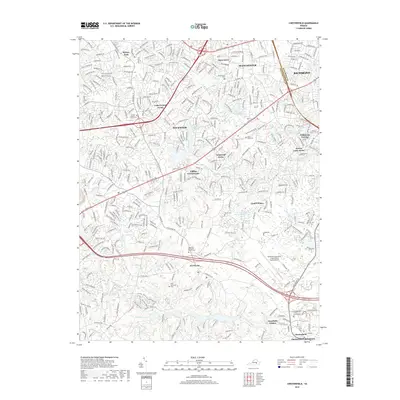
2019 Map of Chesterfield
USGS Topo · Published 2019About this map
The Chesterfield County Courthouse serves as the focal point for this region south of Richmond, where the suburban landscape of Manchester meets the protected forests of Pocahontas State Park. Modern infrastructure, including the Richmond Executive-Chesterfield County Airport, anchors the eastern half of the map, while the southwestern corner preserves a more primitive character. This balance is evident in the transition from the densely packed neighborhoods of Penn Acres and Hylton Park to the natural beauty of the Swift Creek watershed. The area’s spiritual and local history is anchored by sites like Hopewell Methodist Church Cem and Central Baptist Church Cem. Between these points, the map traces the residential growth patterns along Hull Street Rd and Midlothian Tpke, reflecting the late 20th and early 21st-century development of Rockwood and Falling Creek Farms.
Find a feature on this map
49 named features on this map. Tap any name to fly to it.
Don’t see what you’re looking for? This feature index may not catch every label — zoom into the map to look around manually.
Map Details
Editions of this 2019 Chesterfield Map
This is the sole edition of this map. No revisions or reprints were ever made.
Other maps of this area

1890 · Goochland
USGS Topo · 1:125,000

1892 · Goochland
USGS Topo · 1:125,000

1894 · Bermuda Hundred
USGS Topo · 1:62,500

1894 · Richmond
USGS Topo · 1:62,500

1895 · Richmond
USGS Topo · 1:62,500

1897 · Amelia
USGS Topo · 1:125,000

1934 · Richmond
USGS Topo · 1:24,000

1936 · Richmond West
USGS Topo · 1:24,000

1938 · Drewrys Bluff
USGS Topo · 1:24,000

1939 · Richmond
USGS Topo · 1:31,680