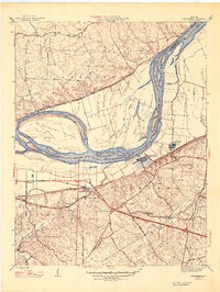
1947 Map of Chesterfield
USGS Topo · Published 1947About this map
The Missouri River defines this 1940s landscape, winding past the expansive floodplains of Greens Bottom and the large riverine features of Bonhomme Island and Catfish Island. At Howard Bend, the critical infrastructure of the St Louis City Water Works and St Louis County Water Works stands as a vital link between the river and the growing suburban reach of St. Louis.
Find a feature on this map
44 named features on this map. Tap any name to fly to it.
Don’t see what you’re looking for? This feature index may not catch every label — zoom into the map to look around manually.
Map Details
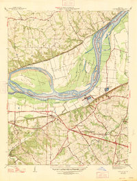
Editions of this 1947 Chesterfield Map
2 editions found
Other maps of this area

1903 · O'Fallon
USGS Topo · 1:125,000

1924 · Robertson
USGS Topo · 1:24,000

1927 · St. Charles
USGS Topo · 1:62,500

1931 · Manchester SE
USGS Topo · 1:24,000

1931 · Brussels
USGS Topo · 1:62,500

1932 · Manchester NE
USGS Topo · 1:24,000

1933 · Creve Coeur
USGS Topo · 1:24,000

1933 · Saint Charles
USGS Topo · 1:62,500

1933 · Kirkwood
USGS Topo · 1:24,000

1937 · Weldon Spring
USGS Topo · 1:24,000