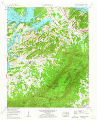
1961 Map of Chestnut Hill
USGS Topo · Published 1964About this map
English Mountain dominates the southern half of this landscape, rising above the convergence of Jefferson, Sevier, and Cocke counties. The terrain transitions from the high peaks of The Pinnacle and The Lookoff down toward the managed waters of Douglas Lake and the French Broad River. This 1961 revision shows a community-centered rural economy, evidenced by the high density of country churches and schools such as Dickey School Ch and Blowing Cave Sch. A notable technological landmark is the Interstate Airway Station perched high on the mountain ridge near Split Gap. Along the lower elevations, the Douglas Reservation Boundary marks the edge of the Tennessee Valley Authority's influence, while local landmarks like Blowing Cave Mill and the settlement of Chestnut Hill anchor the valley floor.
Find a feature on this map
60 named features on this map. Tap any name to fly to it.
Don’t see what you’re looking for? This feature index may not catch every label — zoom into the map to look around manually.
Map Details
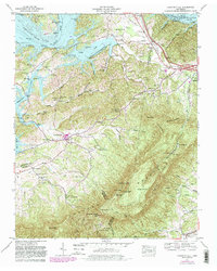
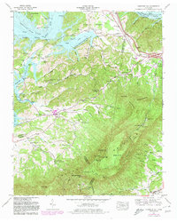
Editions of this 1961 Chestnut Hill Map
3 editions found
Other maps of this area

1883 · Morristown
USGS Topo · 1:125,000

1893 · Mt Guyot
USGS Topo · 1:125,000

1893 · Morristown
USGS Topo · 1:125,000

1895 · Morristown
USGS Topo · 1:125,000

1912 · Mt Guyot
USGS Topo · 1:125,000

1935 · Newport
USGS Topo · 1:48,000

1935 · White Pine
USGS Topo · 1:24,000

1935 · Hartford
USGS Topo · 1:24,000

1935 · English Mountain
USGS Topo · 1:48,000

1935 · Clevenger
USGS Topo · 1:24,000