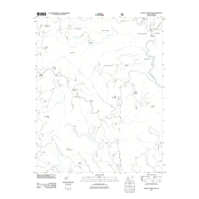
2011 Map of Chestnut Mountain
USGS Topo · Published 2011About this map
Wilson Creek and Upper Creek define the complex drainage patterns of this mountain landscape, which remains largely dominated by federal forest lands. The settlement of Mortimer sits in the northeast, positioned near the Mortimer Recreation Area and Yellow Buck Mountain. This 2011 survey captures a region of significant relief, where deep ravines and high ridges like Ripshin Ridge and Lettered Rock Ridge dictate the paths of secondary routes such as National Forest Rd and Brown Mountain Beach Rd.
Find a feature on this map
54 named features on this map. Tap any name to fly to it.
Don’t see what you’re looking for? This feature index may not catch every label — zoom into the map to look around manually.
Map Details
Editions of this 2011 Chestnut Mountain Map
This is the sole edition of this map. No revisions or reprints were ever made.
Other maps of this area

1893 · Cranberry
USGS Topo · 1:125,000

1895 · Cranberry
USGS Topo · 1:125,000

1899 · Cranberry
USGS Topo · 1:125,000

1902 · Cranberry
USGS Topo · 1:125,000

1905 · Morganton
USGS Topo · 1:125,000

1934 · Linville Falls
USGS Topo · 1:24,000

1934 · Newland
USGS Topo · 1:24,000

1936 · Blowing Rock
USGS Topo · 1:48,000

1942 · Blowing Rock
USGS Topo · 1:62,500

1944 · Linville
USGS Topo · 1:62,500