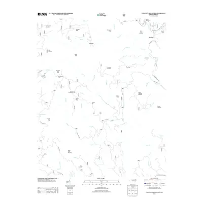
2013 Map of Chestnut Mountain
USGS Topo · Published 2013About this map
Mortimer and Kawana anchor this map of the Pisgah National Forest region, where steep ridge-and-valley terrain dictates the paths of local travel. The landscape is defined by the significant drainage systems of Wilson Cr and Harper Cr, which flow through deep gaps like Licklog Gap. While the settlement at Mortimer serves as a central hub, much of the area is dedicated to public land use, evidenced by the Mortimer Recreation Area and the Barkhouse Picnic Area. Roadways like Brown Mountain Beach Rd follow the natural contours of the water, providing access to landmarks such as the Brown Mountain Overlook Scenic View. This survey captures a moment of modern forest management and recreational development, showing how the topography of peaks like Chestnut Mountain and Bandy Cove Mountain continues to shape life in Caldwell County.
Find a feature on this map
60 named features on this map. Tap any name to fly to it.
Don’t see what you’re looking for? This feature index may not catch every label — zoom into the map to look around manually.
Map Details
Editions of this 2013 Chestnut Mountain Map
This is the sole edition of this map. No revisions or reprints were ever made.
Other maps of this area

1893 · Cranberry
USGS Topo · 1:125,000

1895 · Cranberry
USGS Topo · 1:125,000

1899 · Cranberry
USGS Topo · 1:125,000

1902 · Cranberry
USGS Topo · 1:125,000

1905 · Morganton
USGS Topo · 1:125,000

1934 · Linville Falls
USGS Topo · 1:24,000

1934 · Newland
USGS Topo · 1:24,000

1936 · Blowing Rock
USGS Topo · 1:48,000

1942 · Blowing Rock
USGS Topo · 1:62,500

1944 · Linville
USGS Topo · 1:62,500