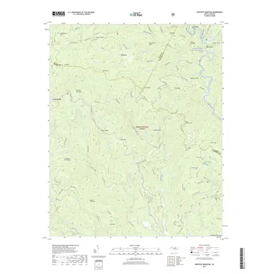
2019 Map of Chestnut Mountain
USGS Topo · Published 2019About this map
Pisgah National Forest dominates this landscape where the boundaries of Avery, Burke, and Caldwell Counties meet. The settlement of Mortimer sits along the Wilson Creek Wild and Scenic River, an area characterized by steep drainage systems like Harper Creek and Steeles Creek. This terrain is defined by a series of prominent peaks and ridges, including the namesake Chestnut Mountain, Sugar Knob, and the distinctive Windling Stair Knob. Local history is anchored by landmarks such as Dixon Springs and the Parks Cemetery located near the southern edge of the quadrangle. Transportation throughout these highlands relies on a network of established paths and roads like the Greentown Shortcut and Mortimer Piedmont road, connecting small communities like Kawana and Cold Springs through narrow gaps such as Licklog Gap.
Find a feature on this map
91 named features on this map. Tap any name to fly to it.
Don’t see what you’re looking for? This feature index may not catch every label — zoom into the map to look around manually.
Map Details
Editions of this 2019 Chestnut Mountain Map
This is the sole edition of this map. No revisions or reprints were ever made.
Other maps of this area

1893 · Cranberry
USGS Topo · 1:125,000

1895 · Cranberry
USGS Topo · 1:125,000

1899 · Cranberry
USGS Topo · 1:125,000

1902 · Cranberry
USGS Topo · 1:125,000

1905 · Morganton
USGS Topo · 1:125,000

1934 · Linville Falls
USGS Topo · 1:24,000

1934 · Newland
USGS Topo · 1:24,000

1936 · Blowing Rock
USGS Topo · 1:48,000

1942 · Blowing Rock
USGS Topo · 1:62,500

1944 · Linville
USGS Topo · 1:62,500