
1958 Map of Chesuncook
USGS Topo · Published 1961About this map
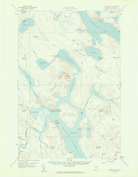
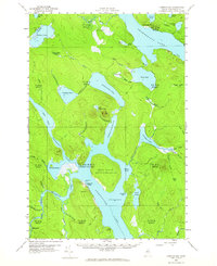
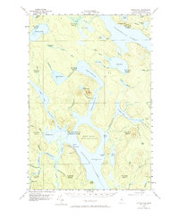
Chesuncook Village stands as the primary outpost in this remote stretch of the North Maine Woods, situated at the confluence where the Penobscot River meets Chesuncook Lake. The map captures a landscape defined by water and timber, largely organized by the West Easterly Liberty Survey (WELS) townships such as t5 r13 Wels. This era of the late 1950s shows the region before modern industrial forestry roads replaced the older network of water routes and portages, like the noted Carry Trail near Mud Pond.
Find a feature on this map
74 named features on this map. Tap any name to fly to it.
Don’t see what you’re looking for? This feature index may not catch every label — zoom into the map to look around manually.
Map Details
Editions of this 1958 Chesuncook Map
4 editions found
Other maps of this area

1953 · Telos Lake
USGS Topo · 1:62,500

1954 · Chesuncook
USGS Topo · 1:62,500

1954 · North East Carry
USGS Topo · 1:62,500

1954 · Spider Lake
USGS Topo · 1:62,500

1954 · Caucomgomoc Lake
USGS Topo · 1:62,500

1954 · Churchill Lake
USGS Topo · 1:62,500

1954 · Allagash Lake
USGS Topo · 1:62,500

1954 · Grant Farm
USGS Topo · 1:62,500

1954 · Harrington Lake
USGS Topo · 1:62,500

1954 · Presque Isle
USGS Topo · 1:250,000