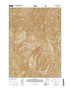
2017 Map of Chetco Peak
USGS Topo · Published 2017About this map
Chetco Peak and the surrounding wilderness of the Siskiyou National Forest define this landscape in Curry County. This area is a critical hydrological divide where the headwaters of several major drainages originate. The Chetco River and its tributaries, including the Little Chetco River and S Fork Chetco River, carve through the complex terrain alongside the N Fork Smith River. High-elevation water bodies like Chetco Lake, Vulcan Lake, and Salamander Lake sit among prominent summits such as Vulcan Peak, Red Mtn, and Bailey Mtn. The map traces the rugged path of the Nat For Dev Rd 240, providing a reference for the limited human access into these remote reaches of the Klamath Mountains. Geologically and topographically, the area is characterized by steep ridges like Moores Ridge and distinctive formations such as Dry Butte, illustrating the dramatic elevation changes that govern the region's water systems.
Find a feature on this map
30 named features on this map. Tap any name to fly to it.
Don’t see what you’re looking for? This feature index may not catch every label — zoom into the map to look around manually.
Map Details
Editions of this 2017 Chetco Peak Map
This is the sole edition of this map. No revisions or reprints were ever made.
Other maps of this area

1917 · Kerby
USGS Topo · 1:125,000

1918 · Kerby
USGS Topo · 1:125,000

1945 · Kerby
USGS Topo · 1:125,000

1954 · Coos Bay
USGS Topo · 1:250,000

1954 · Chetco Peak
USGS Topo · 1:62,500

1954 · Collier Butte
USGS Topo · 1:62,500

1954 · Mt. Emily
USGS Topo · 1:62,500

1954 · Pearsoll Peak
USGS Topo · 1:62,500

1955 · Medford
USGS Topo · 1:250,000

1957 · Medford
USGS Topo · 1:250,000