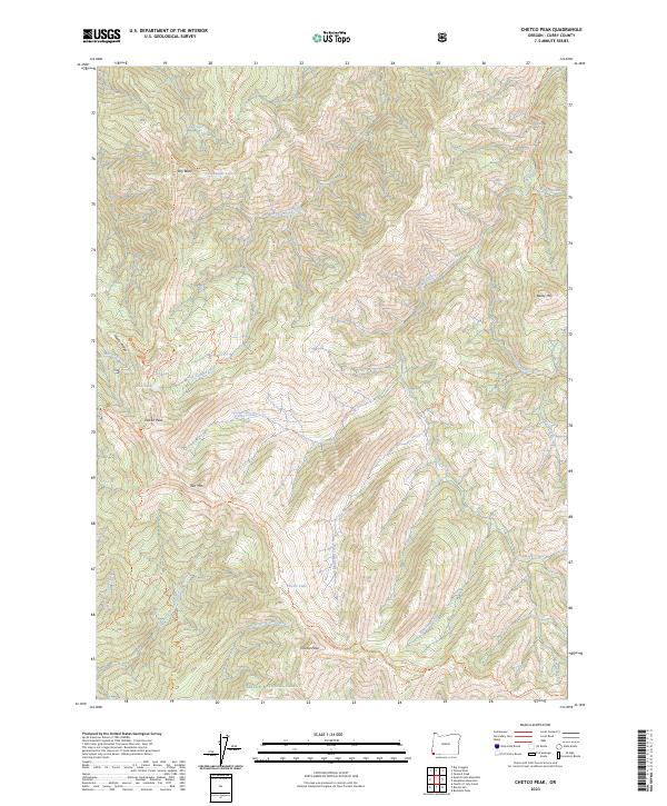
2023 Map of Chetco Peak
USGS Topo · Published 2023About this map
Kalmiopsis Wilderness dominates this corner of the Siskiyou National Forest, where the headwaters of several major drainages converge. The drainage of the Chetco Wild and Scenic River and its tributary, the Little Chetco River, define the eastern half of the map, while the North Fork Smith Wild and Scenic River occupies the southwest. High peaks such as Chetco Peak, Vulcan Peak, and Bailey Mtn provide significant vertical relief, supporting alpine features like Chetco Lake and Vulcan Lake. Historical human activity in this secluded landscape is evidenced by the Gardner Mine Loop Trl and a network of ridge-running paths including the Chetco Divide Trl and Red Mountain Trl, which follow the natural contours of the steep divides.
Find a feature on this map
37 named features on this map. Tap any name to fly to it.
Don’t see what you’re looking for? This feature index may not catch every label — zoom into the map to look around manually.
Map Details
Editions of this 2023 Chetco Peak Map
This is the sole edition of this map. No revisions or reprints were ever made.
Other maps of this area

1917 · Kerby
USGS Topo · 1:125,000

1918 · Kerby
USGS Topo · 1:125,000

1945 · Kerby
USGS Topo · 1:125,000

1954 · Coos Bay
USGS Topo · 1:250,000

1954 · Chetco Peak
USGS Topo · 1:62,500

1954 · Collier Butte
USGS Topo · 1:62,500

1954 · Mt. Emily
USGS Topo · 1:62,500

1954 · Pearsoll Peak
USGS Topo · 1:62,500

1955 · Medford
USGS Topo · 1:250,000

1957 · Medford
USGS Topo · 1:250,000