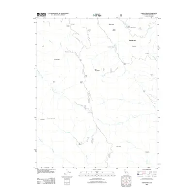
2012 Map of Chews Ridge
USGS Topo · Published 2012About this map
Jamesburg serves as a primary point of reference in this interior section of the Santa Lucia Range, where high ridges and deep canyons dictate the movement of both water and travelers. The road network, including the winding Tassajara Rd and Kincannon Rd, follows the difficult topography around Chews Ridge and Church Creek Divide. The landscape is dotted with remote outposts and historical landholdings such as Mascorini Place, Bruce Ranch, and the isolated Nason Cabin.
Find a feature on this map
47 named features on this map. Tap any name to fly to it.
Don’t see what you’re looking for? This feature index may not catch every label — zoom into the map to look around manually.
Map Details
Editions of this 2012 Chews Ridge Map
This is the sole edition of this map. No revisions or reprints were ever made.
Other maps of this area

1910 · Soledad
USGS Topo · 1:31,680

1915 · Soledad
USGS Topo · 1:62,500

1919 · Junipero Serra
USGS Topo · 1:62,500

1920 · Jamesburg
USGS Topo · 1:48,000

1921 · Jamesburg
USGS Topo · 1:62,500

1921 · Lucia
USGS Topo · 1:62,500

1939 · Jamesburg
USGS Topo · 1:62,500

1940 · Jamesburg
USGS Topo · 1:62,500

1940 · Soledad
USGS Topo · 1:62,500

1941 · Lucia
USGS Topo · 1:62,500