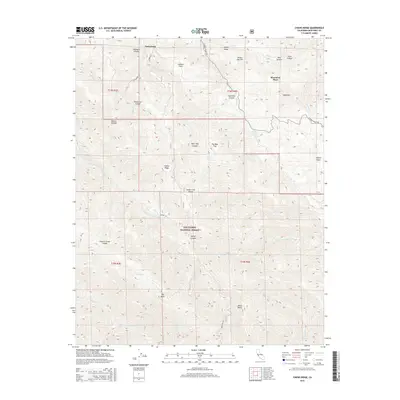
2015 Map of Chews Ridge
USGS Topo · Published 2015About this map
Jamesburg serves as a key landmark in this high-altitude section of the Santa Lucia Range within the Los Padres National Forest. The landscape is defined by its dramatic verticality, where ridges like Chews Ridge and Poison Ridge overlook deep drainage systems including the Miller Fork Carmel River and Piney Cr. The map captures a transition from the semi-remote settlements of the north to the uninhabited, high-country peaks of the south.
Find a feature on this map
43 named features on this map. Tap any name to fly to it.
Don’t see what you’re looking for? This feature index may not catch every label — zoom into the map to look around manually.
Map Details
Editions of this 2015 Chews Ridge Map
This is the sole edition of this map. No revisions or reprints were ever made.
Other maps of this area

1910 · Soledad
USGS Topo · 1:31,680

1915 · Soledad
USGS Topo · 1:62,500

1919 · Junipero Serra
USGS Topo · 1:62,500

1920 · Jamesburg
USGS Topo · 1:48,000

1921 · Jamesburg
USGS Topo · 1:62,500

1921 · Lucia
USGS Topo · 1:62,500

1939 · Jamesburg
USGS Topo · 1:62,500

1940 · Jamesburg
USGS Topo · 1:62,500

1940 · Soledad
USGS Topo · 1:62,500

1941 · Lucia
USGS Topo · 1:62,500