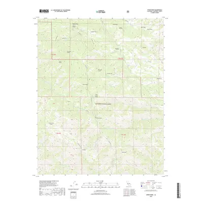
2018 Map of Chews Ridge
USGS Topo · Published 2018About this map
Jamesburg serves as a small point of reference at the edge of the Los Padres National Forest in this high-altitude coastal range. The landscape is defined by the sharp elevations of the Santa Lucia Range, where notable summits like Black Butte and the landmark Chews Ridge overlook deep drainage basins. Waterways such as the Miller Fork Carmel River and Tassajara Cr carve through the terrain, creating named canyons like Anastasia Canyon and Kincannon Canyon. This 2018 survey reveals a network of forest roads including Tassajara Rd and Jeffery Rd that provide access to remote pockets like Lambert Flats and The Bear Trap. The map also captures the distinct botanical and terrain markers of the region, from the Cherry Thicket and Poison Oak Hill to the high plateau of The Mesa.
Find a feature on this map
51 named features on this map. Tap any name to fly to it.
Don’t see what you’re looking for? This feature index may not catch every label — zoom into the map to look around manually.
Map Details
Editions of this 2018 Chews Ridge Map
This is the sole edition of this map. No revisions or reprints were ever made.
Other maps of this area

1910 · Soledad
USGS Topo · 1:31,680

1915 · Soledad
USGS Topo · 1:62,500

1919 · Junipero Serra
USGS Topo · 1:62,500

1920 · Jamesburg
USGS Topo · 1:48,000

1921 · Jamesburg
USGS Topo · 1:62,500

1921 · Lucia
USGS Topo · 1:62,500

1939 · Jamesburg
USGS Topo · 1:62,500

1940 · Jamesburg
USGS Topo · 1:62,500

1940 · Soledad
USGS Topo · 1:62,500

1941 · Lucia
USGS Topo · 1:62,500