
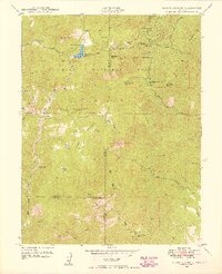
1948 Map of Cheyenne Mountain
USGS Topo · Published 1959About this map
Cheyenne Mountain dominates the western skyline of this mid-century survey, casting its shadow over the expansion of Camp Carson. The landscape reveals a fascinating transition from the wild terrain of the Pike National Forest to the organized infrastructure of the Camp Carson Military Reservation. In the shadow of the peaks, academic life and ranching exist alongside military operations, evidenced by the Iowa State College Camp, the Louisiana State University Camp, and the J L Ranch.
Find a feature on this map
21 named features on this map. Tap any name to fly to it.
Don’t see what you’re looking for? This feature index may not catch every label — zoom into the map to look around manually.
Map Details
Editions of this 1948 Cheyenne Mountain Map
This is the sole edition of this map. No revisions or reprints were ever made.
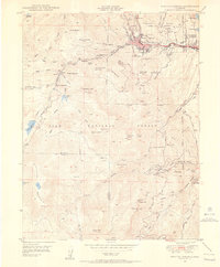
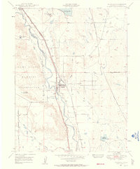
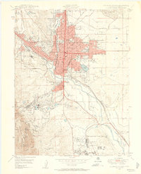
Other maps of this area

1893 · Colorado Springs
USGS Topo · 1:125,000

1909 · Colorado Springs
USGS Topo · 1:125,000

1942 · Colorado Springs
USGS Topo · 1:125,000
1948 · Mount Big Chief
USGS Topo · 1:24,000

1948 · Mount Pittsburg
USGS Topo · 1:24,000

1948 · Timber Mountain
USGS Topo · 1:24,000
1948 · Manitou Springs
USGS Topo · 1:24,000

1948 · Colorado Springs
USGS Topo · 1:62,500
1948 · Fountain
USGS Topo · 1:24,000
1948 · Colorado Springs
USGS Topo · 1:24,000