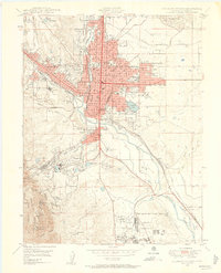
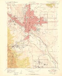
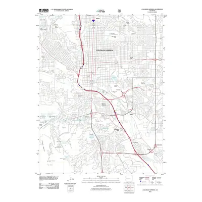
1948 Map of Colorado Springs
USGS Topo · Published 1958About this map
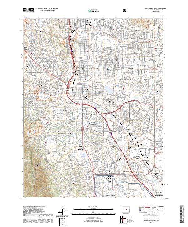
Colorado Springs serves as the focal point of this late 1940s landscape, positioned at the confluence of Monument Creek and Fountain Creek. The urban core is surrounded by several satellite settlements including Roswell, Knob Hill, and the industrial district of Colorado City. The map documents a significant concentration of civic and social institutions that defined the city's character in this era, such as the Deaf and Blind Sch, the Union Printers Home, and Colorado College.
Find a feature on this map
64 named features on this map. Tap any name to fly to it.
Don’t see what you’re looking for? This feature index may not catch every label — zoom into the map to look around manually.
Map Details
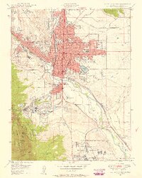
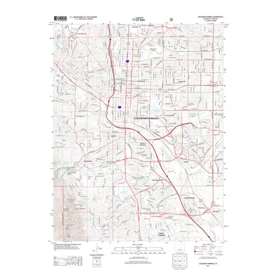
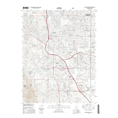
Editions of this 1948 Colorado Springs Map
2 editions found
Historical Maps of Colorado Springs Through Time
14 maps found
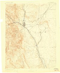
1893 Colorado Springs
El Paso County, CO
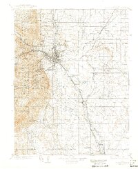
1909 Colorado Springs
El Paso County, CO

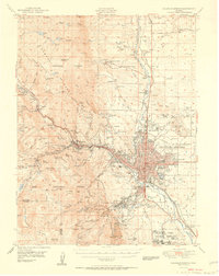
1942 Colorado Springs
El Paso County, CO

1948 Colorado Springs
El Paso County, CO
1948 Colorado Springs
El Paso County, CO
1950 Colorado Springs
El Paso County, CO
1951 Colorado Springs
El Paso County, CO
1961 Colorado Springs
El Paso County, CO
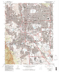
1981 Colorado Springs
El Paso County, CO
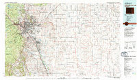
2011 Colorado Springs
El Paso County, CO
2013 Colorado Springs
El Paso County, CO
2016 Colorado Springs
El Paso County, CO
2019 Colorado Springs
El Paso County, CO
2023 Colorado Springs
El Paso County, CO
Featured Locations
- Fort Carson, CO
- Security-Widefield, CO
- Colorado Springs, CO
- Kelker, Colorado Springs
- Knob Hill, Colorado Springs