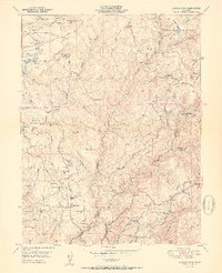
1951 Map of Chicago Park
USGS Topo · Published 1951About this map
Gold-country history and early transportation routes define this landscape in the Sierra Nevada foothills, where the Southern Pacific railroad cuts through the canyons of the Bear River and Secret Ravine. The map preserves the footprint of several historic settlements, including the uniquely named You Bet and Red Dog, which sit adjacent to extensive Diggings and Placer Diggings that reveal the scale of hydraulic mining in the region. Near the Nevada and Placer County line, the steep grades of the railroad grade are marked by notable landmarks such as Cape Horn and the site of Secret Town.
Find a feature on this map
64 named features on this map. Tap any name to fly to it.
Don’t see what you’re looking for? This feature index may not catch every label — zoom into the map to look around manually.
Map Details
Editions of this 1951 Chicago Park Map
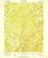
2 editions found
Other maps of this area

1888 · Smartsville
USGS Topo · 1:125,000

1891 · Colfax
USGS Topo · 1:125,000

1891 · Smartsville
USGS Topo · 1:125,000

1892 · Smartsville
USGS Topo · 1:125,000

1892 · Colfax
USGS Topo · 1:125,000

1894 · Colfax
USGS Topo · 1:125,000

1894 · Smartsville
USGS Topo · 1:125,000

1895 · Smartsville
USGS Topo · 1:125,000

1898 · Colfax
USGS Topo · 1:125,000

1900 · Colfax
USGS Topo · 1:125,000