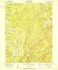
1951 Map of Chicago Park
USGS Topo · Published 1951About this map
Chicago Park and the surrounding Sierra Nevada foothills appear here during a period of transition in the early 1950s. The landscape is heavily marked by gold-era industry, featuring numerous Placer Diggings and significant mining operations like the Lava Cap Mine and the Banner Mine. The map reveals the historical corridor of the Probable Route of the Donner Trail, which winds through the center of the sheet near Sontag Hill. Settlement patterns include established communities such as Peardale and Bear River Pines, alongside more isolated outposts like Hilltop Ranch and Head Ranch.
Find a feature on this map
63 named features on this map. Tap any name to fly to it.
Don’t see what you’re looking for? This feature index may not catch every label — zoom into the map to look around manually.
Map Details
Editions of this 1951 Chicago Park Map
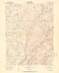
2 editions found
Other maps of this area

1888 · Smartsville
USGS Topo · 1:125,000

1891 · Colfax
USGS Topo · 1:125,000

1891 · Smartsville
USGS Topo · 1:125,000

1892 · Smartsville
USGS Topo · 1:125,000

1892 · Colfax
USGS Topo · 1:125,000

1894 · Colfax
USGS Topo · 1:125,000

1894 · Smartsville
USGS Topo · 1:125,000

1895 · Smartsville
USGS Topo · 1:125,000

1898 · Colfax
USGS Topo · 1:125,000

1900 · Colfax
USGS Topo · 1:125,000