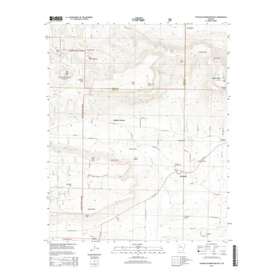
2014 Map of Chickalah Mountain East
USGS Topo · Published 2014About this map
Ozark National Forest lands dominate the western and northern reaches of this Yell County landscape, where the terrain transitions from the high peaks of Mount Nebo and Chickalah Mountain down into the fertile valleys of Chickalah Creek and the Gwin River. The map captures a rural Arkansas corridor where mid-20th-century agriculture and modern natural resource extraction meet, evidenced by the Mount Nebo Oil and Gas Field to the northeast. Small settlements and historic communities are scattered throughout the lowlands, including Chickalah, Sulphur Springs, and Harkey Valley. Genealogists will find a significant concentration of burial sites concentrated around these settlements, such as the Chickalah Methodist Cemetery, Mountain Spring Cemetery, and Hale Cemetery. The presence of the John Harris Field Airport and several prominent bluffs, including North Bluff and South Bluff, highlight the area's varied utility for both aviation and local landmarks.
Find a feature on this map
61 named features on this map. Tap any name to fly to it.
Don’t see what you’re looking for? This feature index may not catch every label — zoom into the map to look around manually.
Map Details
Editions of this 2014 Chickalah Mountain East Map
This is the sole edition of this map. No revisions or reprints were ever made.
Other maps of this area

1888 · Dardanelle #4
USGS Topo · 1:62,500

1888 · Dardanelle #2
USGS Topo · 1:62,500

1888 · Dardanelle #1
USGS Topo · 1:62,500

1888 · Dardanelle #3
USGS Topo · 1:62,500

1890 · Dardanelle
USGS Topo · 1:125,000

1956 · Russellville
USGS Topo · 1:250,000
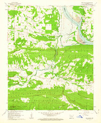
1962 · New Blaine
USGS Topo · 1:24,000

1962 · Delaware
USGS Topo · 1:24,000
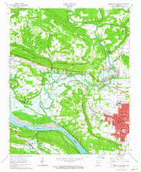
1963 · Russellville West
USGS Topo · 1:24,000

1964 · Russellville
USGS Topo · 1:250,000