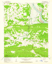
1962 Map of New Blaine
USGS Topo · Published 1963About this map
Dardanelle Reservoir dominates the northeastern landscape of this Logan County survey, with blue hatching indicating the specific areas slated for submergence as the river basin was transformed. The transition from the valley floor to the high ridges of Prairie View Mountain and River Mountain is marked by a network of rural communities, including Dublin, Anhalt, and the map's namesake, New Blaine. These settlements are anchored by institutions like St Scholastica Ch, New Blaine Sch, and several family cemeteries such as Hall Cem and Freiserie Cem, providing a detailed view of the area's social geography before the water levels changed.
Find a feature on this map
57 named features on this map. Tap any name to fly to it.
Don’t see what you’re looking for? This feature index may not catch every label — zoom into the map to look around manually.
Map Details
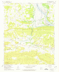
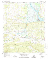
Editions of this 1962 New Blaine Map
3 editions found
Other maps of this area

1879 · Mountain Home
USGS Topo · 1:62,500

1887 · Magazine Mountain #1
USGS Topo · 1:62,500

1887 · Magazine Mountain #4
USGS Topo · 1:62,500

1887 · Magazine Mountain
USGS Topo · 1:62,500

1888 · Dardanelle #2
USGS Topo · 1:62,500

1888 · Dardanelle #3
USGS Topo · 1:62,500

1890 · Magazine Mountain
USGS Topo · 1:125,000

1890 · Dardanelle
USGS Topo · 1:125,000

1956 · Russellville
USGS Topo · 1:250,000
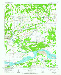
1961 · Hartman
USGS Topo · 1:24,000