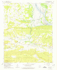
1962 Map of New Blaine
USGS Topo · Published 1975About this map
New Blaine and the surrounding Logan County landscape are captured here just as the Dardanelle Reservoir was preparing to reshape the Arkansas River valley. The map includes blue hatching to indicate areas slated for submergence, marking a significant transition for riverside features like Shoal Creek Island and Collins Shoals. To the south, the terrain rises sharply into Prairie View Mountain and River Mountain, while the southern reaches extend into the Ozark National Forest.
Find a feature on this map
60 named features on this map. Tap any name to fly to it.
Don’t see what you’re looking for? This feature index may not catch every label — zoom into the map to look around manually.
Map Details
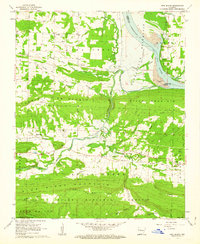
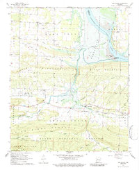
Editions of this 1962 New Blaine Map
3 editions found
Other maps of this area

1879 · Mountain Home
USGS Topo · 1:62,500

1887 · Magazine Mountain #1
USGS Topo · 1:62,500

1887 · Magazine Mountain #4
USGS Topo · 1:62,500

1887 · Magazine Mountain
USGS Topo · 1:62,500

1888 · Dardanelle #2
USGS Topo · 1:62,500

1888 · Dardanelle #3
USGS Topo · 1:62,500

1890 · Magazine Mountain
USGS Topo · 1:125,000

1890 · Dardanelle
USGS Topo · 1:125,000

1956 · Russellville
USGS Topo · 1:250,000
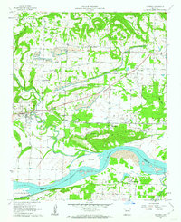
1961 · Hartman
USGS Topo · 1:24,000