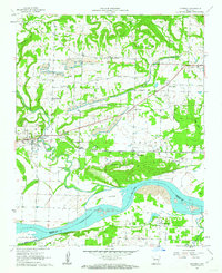
1961 Map of Hartman
USGS Topo · Published 1962About this map
Hartman stands as a focal point along the Missouri Pacific railroad corridor in the early 1960s, surrounded by an active landscape of strip mines and scattered agricultural settlements. The terrain transitions from the alluvial bottomlands of the Arkansas River near Morrison Bluff to the rising elevations of Horsehead and Tick Hill. This era shows a community deeply tied to its natural resources and spiritual centers, evidenced by numerous local landmarks including Hays Chapel, Sacred Heart Ch, and West Mount Zion Ch.
Find a feature on this map
39 named features on this map. Tap any name to fly to it.
Don’t see what you’re looking for? This feature index may not catch every label — zoom into the map to look around manually.
Map Details
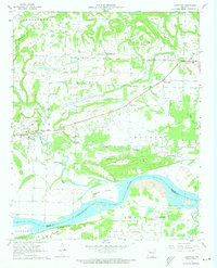
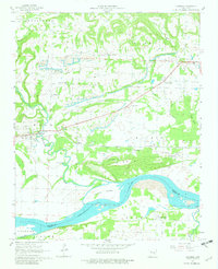
Editions of this 1961 Hartman Map
3 editions found
Other maps of this area

1887 · Magazine Mountain #1
USGS Topo · 1:62,500

1887 · Magazine Mountain
USGS Topo · 1:62,500

1888 · Dardanelle #2
USGS Topo · 1:62,500

1889 · Ozone
USGS Topo · 1:62,500

1890 · Magazine Mountain
USGS Topo · 1:125,000

1890 · Dardanelle
USGS Topo · 1:125,000

1906 · Batson
USGS Topo · 1:62,500

1934 · Ozone
USGS Topo · 1:62,500

1936 · Ozone
USGS Topo · 1:62,500

1956 · Russellville
USGS Topo · 1:250,000