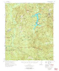
1978 Map of Chidester
USGS Topo · Published 1978About this map
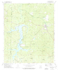
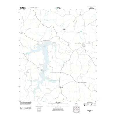
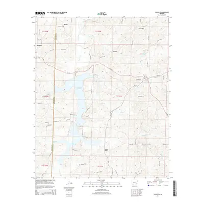
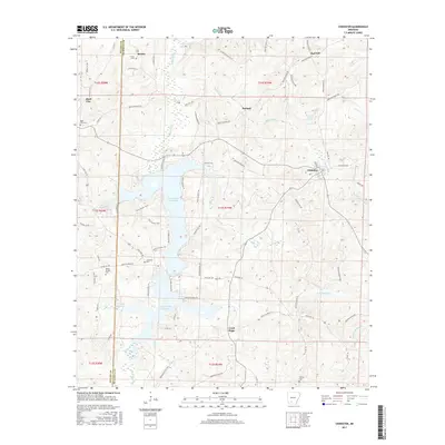
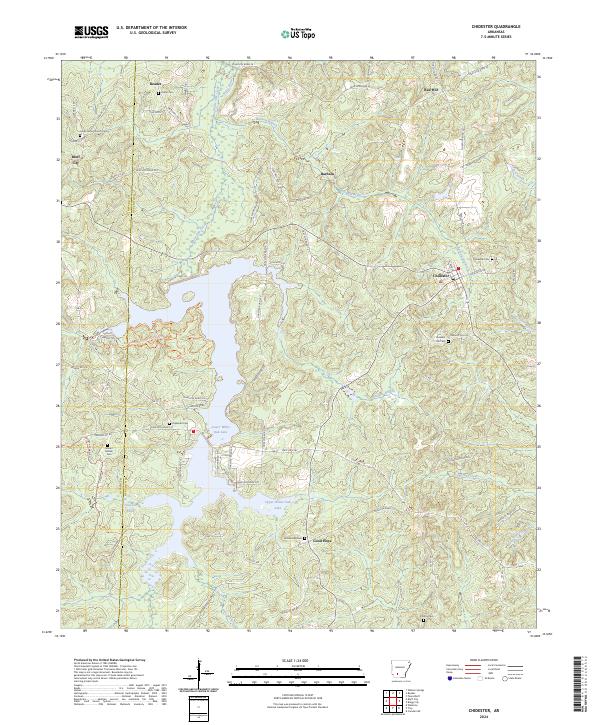
White Oak Lake dominates the central landscape of this survey, surrounded by the extensive tracts of the Poison Springs State Forest. The map documents a rural Arkansas environment defined by its creek systems, such as Caney Creek and White Oak Creek, and a high density of country churches and family burial grounds. Settlements like Bluff City and Chidester serve as local hubs, while smaller locales like Anthony Switch and Dills Mills hint at the area's timber and rail history.
Find a feature on this map
74 named features on this map. Tap any name to fly to it.
Don’t see what you’re looking for? This feature index may not catch every label — zoom into the map to look around manually.
Map Details
Editions of this 1978 Chidester Map
This is the sole edition of this map. No revisions or reprints were ever made.
Historical Maps of Chidester Through Time
7 maps found