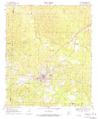
1969 Map of Stephens
USGS Topo · Published 1971About this map
The Stephens oil fields define this landscape in the late 1960s, where a dense network of extraction sites and pipelines crisscross the rolling terrain of southern Arkansas. As a major hub at the junction of the St Louis Southwestern railroad, the town of Stephens is surrounded by significant industrial infrastructure including a Refinery and a Substation. The map reveals an economy deeply tied to the land, with several distinct production zones such as the Smackover Field, Curry Oil and Gas Field, and the Wesson North Oil and Gas Field.
Find a feature on this map
32 named features on this map. Tap any name to fly to it.
Don’t see what you’re looking for? This feature index may not catch every label — zoom into the map to look around manually.
Map Details
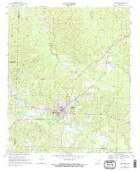
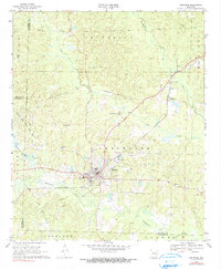
Editions of this 1969 Stephens Map
3 editions found
Other maps of this area

1901 · Gurdon
USGS Topo · 1:125,000

1903 · Camden
USGS Topo · 1:125,000

1953 · El Dorado
USGS Topo · 1:250,000

1957 · El Dorado
USGS Topo · 1:250,000

1958 · El Dorado
USGS Topo · 1:250,000

1960 · El Dorado
USGS Topo · 1:250,000

1962 · Buena Vista
USGS Topo · 1:24,000

1962 · Mt Holly
USGS Topo · 1:24,000

1964 · Louann
USGS Topo · 1:62,500

1966 · Village
USGS Topo · 1:24,000