2020 Map of Chignik B-7 NW
USGS Topo · Published 2020About this map
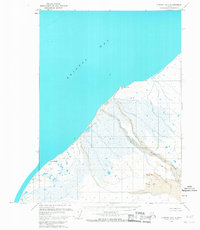
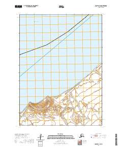
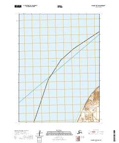
Bristol Bay dominates the northwestern expanse of this coastal quadrangle, representing the cold, productive waters of the eastern Bering Sea. The map highlights a remote stretch of the Alaska Peninsula where the sea meets a sparsely documented landscape, primarily organized by the Public Land Survey System. The diagonal line of a township boundary, including T43s R69w, T44s R70w, and T44s R69w, provides the primary structure for this largely undeveloped maritime region. The absence of roads or named inland settlements emphasizes the area's isolation and its status as a preserved wilderness at the time of this 2020 survey. Geographers and historians can examine the precise township and range divisions that overlay this rugged coastline, offering a clear view of how federal land is managed and partitioned in the Aleutians East Borough.
Find a feature on this map
28 named features on this map. Tap any name to fly to it.
Don’t see what you’re looking for? This feature index may not catch every label — zoom into the map to look around manually.
Map Details
Editions of this 2020 Chignik B-7 NW Map
This is the sole edition of this map. No revisions or reprints were ever made.