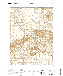
2020 Map of Chignik B-7 SE
USGS Topo · Published 2020About this map
Muddy River defines the landscape of this remote corner of the Aleutians East Borough, carving a braided path through a valley of glacial outwash and wetlands. This 2020 survey records the intricate shifting channels of the river system as it moves across the coastal plain of the Alaska Peninsula. The terrain is characterized by complex contour lines indicating small, scattered knolls and depressions within the broader floodplain, a pattern that reflects the dynamic hydrological history of the region. Though largely devoid of named human settlements or infrastructure, the map serves as a vital record of the natural topography and the expansive reach of the Muddy River before it nears the Pacific coast.
Find a feature on this map
5 named features on this map. Tap any name to fly to it.
Don’t see what you’re looking for? This feature index may not catch every label — zoom into the map to look around manually.
Map Details
Editions of this 2020 Chignik B-7 SE Map
This is the sole edition of this map. No revisions or reprints were ever made.
Other maps of this area

1963 · Chignik A-6
USGS Topo · 1:63,360
1963 · Chignik B-7
USGS Topo · 1:63,360

1963 · Chignik B-6
USGS Topo · 1:63,360

1963 · Chignik A-7
USGS Topo · 1:63,360

1963 · Chignik
USGS Topo · 1:250,000
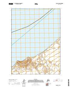
2020 · Chignik B-7 NE
USGS Topo · 1:25,000
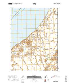
2020 · Chignik B-7 SW
USGS Topo · 1:25,000
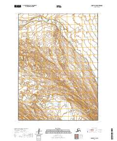
2020 · Chignik A-7 NE
USGS Topo · 1:25,000
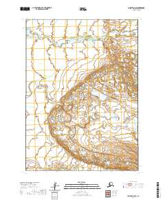
2020 · Chignik A-7 NW
USGS Topo · 1:25,000
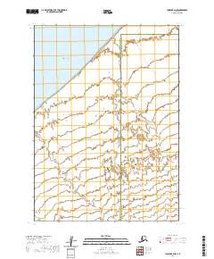
2020 · Chignik B-6 NW
USGS Topo · 1:25,000