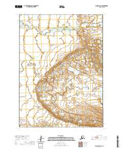
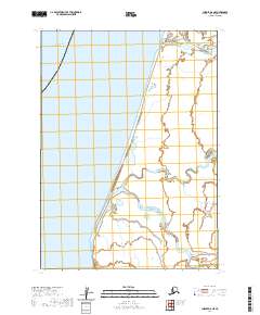
2020 Map of Chignik A-7 NW
USGS Topo · Published 2020About this map
Sandy River and Spirit River dominate this coastal Alaskan landscape within the Aleutians East Borough. The terrain is defined by the intricate meandering of these watercourses through a complex network of wetlands and small ponds, illustrating the dynamic hydrology of the region near the Bering Sea. Surveyed as part of the modern US Topo series, the map highlights the undeveloped character of the territory, where the natural drainage patterns of the Spirit River and Sandy River are the primary landmarks. The presence of numerous kettle ponds and oxbows suggests a low-lying, glaciated alluvial plain, providing a clear record of the area's geological and hydrological state in the early twenty-first century.
Find a feature on this map
8 named features on this map. Tap any name to fly to it.
Don’t see what you’re looking for? This feature index may not catch every label — zoom into the map to look around manually.
Map Details
Editions of this 2020 Chignik A-7 NW Map
This is the sole edition of this map. No revisions or reprints were ever made.
Other maps of this area
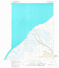
1963 · Chignik B-7
USGS Topo · 1:63,360

1963 · Chignik A-7
USGS Topo · 1:63,360

1963 · Chignik
USGS Topo · 1:250,000
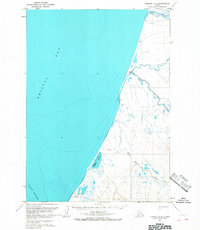
1963 · Chignik A-8
USGS Topo · 1:63,360
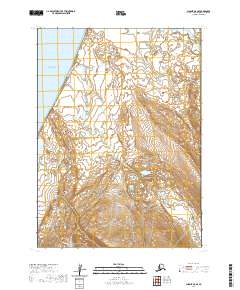
2020 · Chignik A-8 SE
USGS Topo · 1:25,000
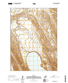
2020 · Chignik A-7 SW
USGS Topo · 1:25,000
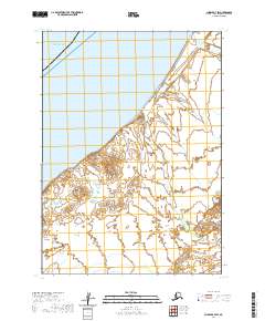
2020 · Chignik B-7 SW
USGS Topo · 1:25,000
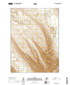
2020 · Chignik A-7 SE
USGS Topo · 1:25,000
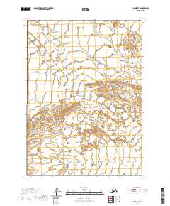
2020 · Chignik B-7 SE
USGS Topo · 1:25,000
2020 · Chignik A-8 NE
USGS Topo · 1:25,000