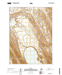
2020 Map of Chignik A-7 SW
USGS Topo · Published 2020About this map
Johnsons Landing marks a point of human presence on the northern shore of Bear Lake, serving as a key reference point in this corner of the Alaska Peninsula. The landscape is defined by the hydrologic transition where the Milky River and Bear River flow through the coastal lowlands, creating a complex network of braids and tributaries before meeting the lake. The terrain is characterized by the low-lying wetlands and alluvial flats typical of the Aleutians East region, where seasonal water levels significantly influence the geography. The map illustrates the isolation of this territory, with few established structures beyond the landing, reflecting a maritime and river-dependent environment that has long supported local transport and subsistence in the Aleutians East Borough.
Find a feature on this map
8 named features on this map. Tap any name to fly to it.
Don’t see what you’re looking for? This feature index may not catch every label — zoom into the map to look around manually.
Map Details
Editions of this 2020 Chignik A-7 SW Map
This is the sole edition of this map. No revisions or reprints were ever made.
Other maps of this area

1953 · Port Moller
USGS Topo · 1:250,000

1963 · Chignik A-7
USGS Topo · 1:63,360

1963 · Port Moller D-2
USGS Topo · 1:63,360

1963 · Chignik
USGS Topo · 1:250,000
1963 · Chignik A-8
USGS Topo · 1:63,360
1963 · Port Moller D-1
USGS Topo · 1:63,360

1988 · Port Moller
USGS Topo · 1:250,000
2020 · Chignik A-8 SE
USGS Topo · 1:25,000
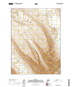
2020 · Chignik A-7 SE
USGS Topo · 1:25,000
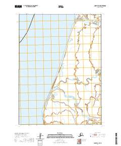
2020 · Chignik A-8 NE
USGS Topo · 1:25,000