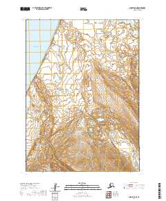
2020 Map of Chignik A-8 SE
USGS Topo · Published 2020About this map
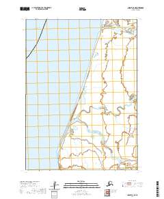
Bristol Bay dominates the western edge of this coastal landscape, where the tides meet the expansive river systems of the Alaska Peninsula. The King Salmon River meanders extensively through the central portion of the terrain, carving a complex network of oxbows and channels across the lowland flats before reaching the coast. In the northwest corner, Franks Lagoon provides a protected maritime feature behind the coastal barrier, while the Bear River enters the frame in the northeast. This 2020 topographic record highlights a region defined by hydrological shifts, showing the intricate drainage patterns where freshwater rivers merge into the larger saltwater bay. The lack of inland infrastructure emphasizes the remote, water-dominated character of the Aleutians East region, where geographical features like these river mouths are the primary landmarks for navigation.
Find a feature on this map
8 named features on this map. Tap any name to fly to it.
Don’t see what you’re looking for? This feature index may not catch every label — zoom into the map to look around manually.
Map Details
Editions of this 2020 Chignik A-8 SE Map
This is the sole edition of this map. No revisions or reprints were ever made.
Other maps of this area

1953 · Port Moller
USGS Topo · 1:250,000

1963 · Chignik A-7
USGS Topo · 1:63,360

1963 · Port Moller D-2
USGS Topo · 1:63,360

1963 · Chignik
USGS Topo · 1:250,000
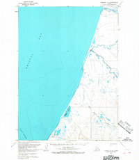
1963 · Chignik A-8
USGS Topo · 1:63,360
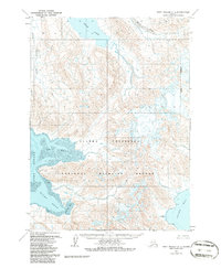
1963 · Port Moller D-1
USGS Topo · 1:63,360

1988 · Port Moller
USGS Topo · 1:250,000
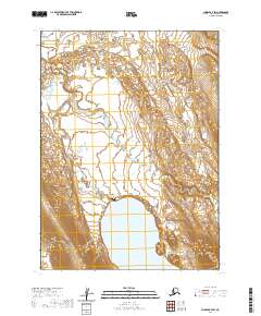
2020 · Chignik A-7 SW
USGS Topo · 1:25,000
2020 · Chignik A-8 NE
USGS Topo · 1:25,000
2020 · Chignik A-7 NW
USGS Topo · 1:25,000