
1963 Map of Chignik A-7
USGS Topo · Published 1967About this map
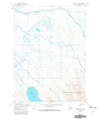
Sandy River and the Bear River drainage systems define this landscape in the Aleutians East region of Alaska. The map reflects a mid-century remote wilderness where transport was dictated by water and air, evidenced by the presence of the Sandy River Landing Strip and the Cabin Landing Area on the shores of Bear Lake. Small-scale industrial exploration is marked by a solitary Drill Hole north of the river, while a lone Cabin near Sandy Lake suggests isolated seasonal habitation or subsistence use. The network of braided streams, including the Milky River, flows through land that remained largely unsurveyed and unmarked at the time of mapping, as noted by the Bureau of Land Management. The terrain transitions from these wide river valleys toward the peak of Ankara, capturing the untouched character of the peninsula before modern development.
Find a feature on this map
10 named features on this map. Tap any name to fly to it.
Don’t see what you’re looking for? This feature index may not catch every label — zoom into the map to look around manually.
Map Details
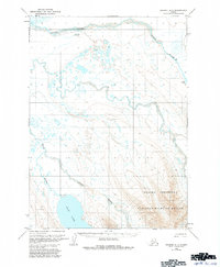
Editions of this 1963 Chignik A-7 Map
3 editions found
Other maps of this area

1951 · Stepovak Bay
USGS Topo · 1:250,000

1953 · Port Moller
USGS Topo · 1:250,000

1963 · Chignik A-6
USGS Topo · 1:63,360
1963 · Chignik B-7
USGS Topo · 1:63,360

1963 · Chignik B-6
USGS Topo · 1:63,360

1963 · Stepovak Bay D-6
USGS Topo · 1:63,360

1963 · Port Moller D-2
USGS Topo · 1:63,360

1963 · Chignik
USGS Topo · 1:250,000
1963 · Chignik A-8
USGS Topo · 1:63,360

1963 · Stepovak Bay
USGS Topo · 1:250,000