
1963 Map of Chignik B-6
USGS Topo · Published 1967About this map
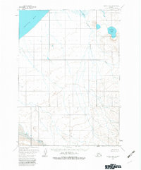
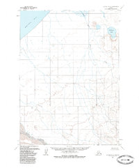
Bristol Bay defines the northwestern reaches of this coastal Alaskan landscape, where the tides of the Bering Sea meet an intricate network of freshwater drainages. The topography is dominated by the broad, low-lying basin of Wildman Lake, which serves as a central hub for the area's hydrology. This 1963 field-annotated survey reveals a wilderness devoid of roads or trails, where movement is dictated by the paths of the Ocean River and the winding Fracture Creek. In the south, the Muddy River meanders through wide valleys of unsurveyed land, as predetermined by the Bureau of Land Management. The map captures a moment when the Seward Meridian remained largely unmarked on the ground, preserving the raw character of the terrain before modern infrastructure. These detailed contours and marshland indicators provide an essential record for studying the natural drainage patterns and unhindered coastal ecology of the Alaska Peninsula during the early 1960s.
Find a feature on this map
11 named features on this map. Tap any name to fly to it.
Don’t see what you’re looking for? This feature index may not catch every label — zoom into the map to look around manually.
Map Details
Editions of this 1963 Chignik B-6 Map
3 editions found
Other maps of this area

1963 · Chignik A-6
USGS Topo · 1:63,360
1963 · Chignik B-7
USGS Topo · 1:63,360

1963 · Chignik B-5
USGS Topo · 1:63,360

1963 · Chignik A-5
USGS Topo · 1:63,360
1963 · Chignik C-6
USGS Topo · 1:63,360

1963 · Chignik A-7
USGS Topo · 1:63,360

1963 · Chignik C-5
USGS Topo · 1:63,360

1963 · Chignik
USGS Topo · 1:250,000
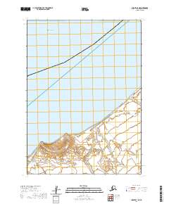
2020 · Chignik B-7 NE
USGS Topo · 1:25,000
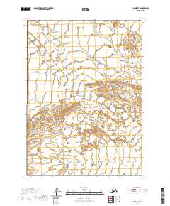
2020 · Chignik B-7 SE
USGS Topo · 1:25,000