
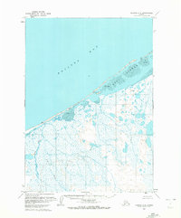
1963 Map of Chignik C-5
USGS Topo · Published 1967About this map
Bristol Bay dominates the northern horizon of this coastal Alaskan landscape, where the tides exert a constant influence on the shifting shoreline. The Seal Islands form a protective barrier against the open water, separated from the mainland by expansive stretches of Tidal Flat. Further inland, the terrain is defined by a dense network of marshes and water bodies, most notably Ilnik Lake and the meandering Ilnik River. Evidence of human presence is minimal, marked only by a solitary Cabin near the coast and the survey points at Snipe, Chief, and Ilnik. This survey, compiled from aerial photography taken in the late 1950s and early 1960s, documents a wilderness of Fog Creek and un-surveyed wetlands where the mean range of tide reaches approximately seven feet, constantly reshaping the boundary between land and sea.
Find a feature on this map
12 named features on this map. Tap any name to fly to it.
Don’t see what you’re looking for? This feature index may not catch every label — zoom into the map to look around manually.
Map Details
Editions of this 1963 Chignik C-5 Map
2 editions found
Other maps of this area

1963 · Chignik C-4
USGS Topo · 1:63,360

1963 · Chignik B-5
USGS Topo · 1:63,360

1963 · Chignik B-4
USGS Topo · 1:63,360

1963 · Chignik B-6
USGS Topo · 1:63,360
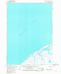
1963 · Chignik C-6
USGS Topo · 1:63,360
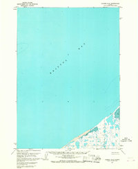
1963 · Chignik D-4
USGS Topo · 1:63,360

1963 · Chignik
USGS Topo · 1:250,000
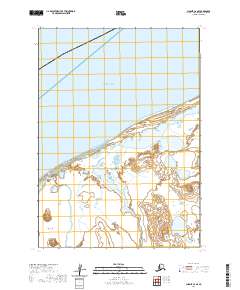
2020 · Chignik C-6 SE
USGS Topo · 1:25,000
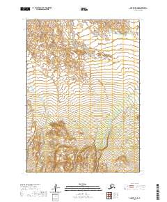
2020 · Chignik B-5 NE
USGS Topo · 1:25,000
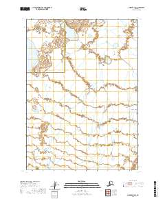
2020 · Chignik C-4 SW
USGS Topo · 1:25,000