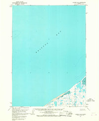
1963 Map of Chignik D-4
USGS Topo · Published 1967About this map
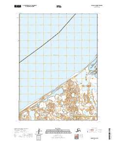
Bristol Bay dominates this coastal survey, where the vast expanse of the sea meets a complex network of marshes and low-lying terrain. The shoreline is characterized by extensive Tidal Flats and areas simply labeled Flat, indicating a dynamic littoral environment subject to the significant tidal ranges of the Alaska Peninsula. Evidence of human presence is sparse but specific, with a single Cabin and a location identified as Lilac positioned near the water's edge. This 1963 field-annotated map provides a snapshot of a largely undeveloped wilderness, where the geography is defined more by its hydrography—including the area noted as Mud—than by permanent settlements. The layout reflects the Bureau of Land Management’s early surveying efforts in these remote coastal stretches during the mid-20th century.
Find a feature on this map
6 named features on this map. Tap any name to fly to it.
Don’t see what you’re looking for? This feature index may not catch every label — zoom into the map to look around manually.
Map Details
Editions of this 1963 Chignik D-4 Map
2 editions found
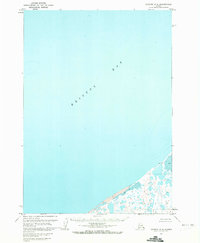
Other maps of this area

1951 · Bristol Bay
USGS Topo · 1:250,000

1963 · Chignik C-3
USGS Topo · 1:63,360

1963 · Chignik C-4
USGS Topo · 1:63,360

1963 · Bristol Bay
USGS Topo · 1:250,000

1963 · Chignik D-3
USGS Topo · 1:63,360

1963 · Chignik C-5
USGS Topo · 1:63,360

1963 · Chignik
USGS Topo · 1:250,000
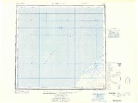
1967 · Bristol Bay
USGS Topo · 1:250,000
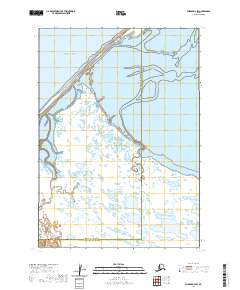
2020 · Chignik D-3 SW
USGS Topo · 1:25,000
2020 · Chignik D-4 SE
USGS Topo · 1:25,000