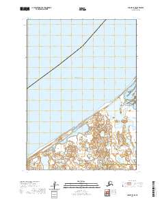
2020 Map of Chignik D-4 SE
USGS Topo · Published 2020About this map
Bristol Bay dominates the northern half of this coastal survey, where the waters meet a complex shoreline of wetlands and inlets. This landscape reflects the intersection of the Aleutians East Borough Lake and Peninsula Borough line, marking a remote administrative boundary in the southwestern Alaskan wilderness. The terrain is characterized by intricate hydrological patterns and low-lying coastal marshes, typical of the peninsula's transition from open sea to inland tundra. Surveyed recently, the map captures the contemporary state of these tidal zones and borough divisions, serving as a primary resource for understanding the current physical geography and jurisdictional boundaries of this sparsely populated maritime region.
Find a feature on this map
7 named features on this map. Tap any name to fly to it.
Don’t see what you’re looking for? This feature index may not catch every label — zoom into the map to look around manually.
Map Details
Editions of this 2020 Chignik D-4 SE Map
This is the sole edition of this map. No revisions or reprints were ever made.
Other maps of this area

1963 · Chignik C-3
USGS Topo · 1:63,360

1963 · Chignik C-4
USGS Topo · 1:63,360
1963 · Chignik D-4
USGS Topo · 1:63,360

1963 · Chignik D-3
USGS Topo · 1:63,360

1963 · Chignik
USGS Topo · 1:250,000
2020 · Chignik D-3 SW
USGS Topo · 1:25,000
2020 · Chignik C-3 NW
USGS Topo · 1:25,000
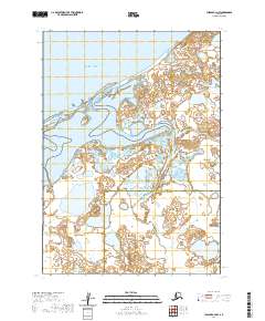
2020 · Chignik C-4 NW
USGS Topo · 1:25,000
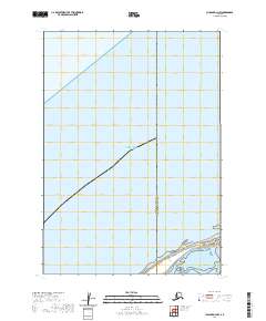
2020 · Chignik D-3 NW
USGS Topo · 1:25,000
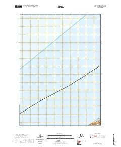
2020 · Chignik D-4 SW
USGS Topo · 1:25,000