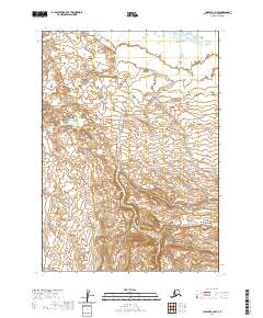
2020 Map of Chignik C-3 NW
USGS Topo · Published 2020About this map
Charles Creek flows through this sub-arctic expanse in the Lake and Peninsula Borough, serving as a primary drainage for the surrounding terrain. This survey reflects the remote character of the Alaska Peninsula, where land is partitioned by the Public Land Survey System into townships like t40s r61w, t40s r60w, t41s r62w, and t41s r61w. The landscape here is defined by its lack of established settlements or road infrastructure, showing instead a complex network of wetlands and seasonal watercourses. It offers a clear record of the region's hydrography and topography as documented in the early twenty-first century, providing a baseline for environmental and geological study in a largely untouched wilderness.
Find a feature on this map
5 named features on this map. Tap any name to fly to it.
Don’t see what you’re looking for? This feature index may not catch every label — zoom into the map to look around manually.
Map Details
Editions of this 2020 Chignik C-3 NW Map
This is the sole edition of this map. No revisions or reprints were ever made.
Other maps of this area

1963 · Chignik C-3
USGS Topo · 1:63,360

1963 · Chignik C-4
USGS Topo · 1:63,360
1963 · Chignik D-4
USGS Topo · 1:63,360

1963 · Chignik D-3
USGS Topo · 1:63,360

1963 · Chignik
USGS Topo · 1:250,000
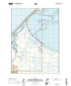
2020 · Chignik D-3 SW
USGS Topo · 1:25,000
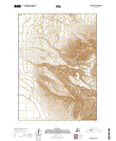
2020 · Chignik C-3 SW
USGS Topo · 1:25,000
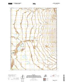
2020 · Chignik C-4 SE
USGS Topo · 1:25,000
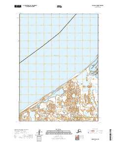
2020 · Chignik D-4 SE
USGS Topo · 1:25,000
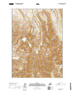
2020 · Chignik C-3 SE
USGS Topo · 1:25,000