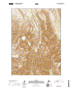
2020 Map of Chignik C-3 SE
USGS Topo · Published 2020About this map
Black Peak stands as the central high point of this terrain on the Alaska Peninsula, where steep slopes and drainage basins define the northern reaches of the Aleutian Range. The landscape is dominated by a radiating network of glacial and snowmelt-fed streams, including Yellow Bluff Cr in the east and Red Bluff Cr cutting through the central valley. These waterways, along with Charles Cr and Crater Cr, illustrate the complex erosional patterns of the volcanic peaks found here. Higher elevations reveal specialized water bodies such as Purple Lake, positioned in a high basin west of the main peak. The map also records several smaller drainages like Ash Cr, Milk Cr, and Cathedral Cr, which contribute to the larger regional hydrological system in this undeveloped portion of the Lake and Peninsula Borough.
Find a feature on this map
15 named features on this map. Tap any name to fly to it.
Don’t see what you’re looking for? This feature index may not catch every label — zoom into the map to look around manually.
Map Details
Editions of this 2020 Chignik C-3 SE Map
This is the sole edition of this map. No revisions or reprints were ever made.
Other maps of this area

1963 · Chignik B-2
USGS Topo · 1:63,360

1963 · Chignik C-3
USGS Topo · 1:63,360

1963 · Chignik C-2
USGS Topo · 1:63,360

1963 · Chignik B-3
USGS Topo · 1:63,360

1963 · Chignik
USGS Topo · 1:250,000
2020 · Chignik C-3 SW
USGS Topo · 1:25,000
2020 · Chignik B-3 NW
USGS Topo · 1:25,000
2020 · Chignik C-3 NW
USGS Topo · 1:25,000
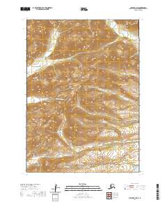
2020 · Chignik B-2 NW
USGS Topo · 1:25,000
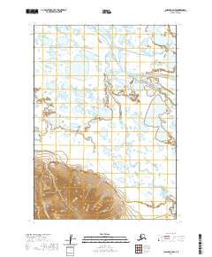
2020 · Chignik C-2 NW
USGS Topo · 1:25,000