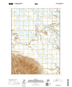
2020 Map of Chignik C-2 NW
USGS Topo · Published 2020About this map
The Meshik River drainage defines this portion of the Alaska Peninsula, where a complex network of waterways moves across a low-lying basin. The river itself creates a broad corridor of shifting channels, punctuated by features such as Scottys Island. Surrounding this central flow, smaller tributaries like Lendlocked Creek and Braided Creek illustrate the hydrologic character of this sub-arctic environment, where seasonal melt and sedimentation constantly reshape the landscape. While the northern and central portions of the map are dominated by these saturated lowlands and numerous small ponds, the southern edge shows the rising topography of the surrounding volcanic range. Highland Cr descends from these steeper contours, cutting through the terrain before joining the intricate aquatic system below. This 2020 edition provides a clear view of the wilderness before it meets the higher peaks to the south, highlighting the transition from mountain runoff to tidal-influenced river plains.
Find a feature on this map
9 named features on this map. Tap any name to fly to it.
Don’t see what you’re looking for? This feature index may not catch every label — zoom into the map to look around manually.
Map Details
Editions of this 2020 Chignik C-2 NW Map
This is the sole edition of this map. No revisions or reprints were ever made.
Other maps of this area

1963 · Chignik C-3
USGS Topo · 1:63,360

1963 · Chignik D-3
USGS Topo · 1:63,360

1963 · Chignik C-2
USGS Topo · 1:63,360

1963 · Chignik
USGS Topo · 1:250,000

1963 · Chignik D-2
USGS Topo · 1:63,360
2020 · Chignik C-2 NE
USGS Topo · 1:25,000
2020 · Chignik D-2 SW
USGS Topo · 1:25,000
2020 · Chignik C-3 SE
USGS Topo · 1:25,000
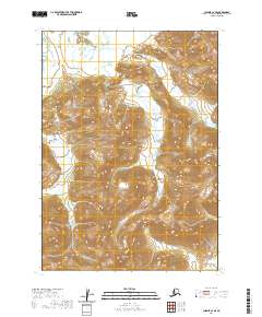
2020 · Chignik C-2 SE
USGS Topo · 1:25,000
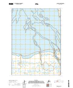
2020 · Chignik D-3 SE
USGS Topo · 1:25,000