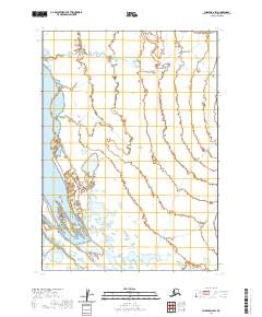
2020 Map of Chignik D-2 SW
USGS Topo · Published 2020About this map
Meshik River dominates the southwestern portion of this Lake and Peninsula Borough landscape, where the braiding riverbed illustrates the fluid nature of the Alaska Peninsula's coastal drainage systems. The survey details the convergence of smaller tributaries like Highland Cr into the larger river basin, reflecting a terrain defined by hydraulic complexity. Further north, the meandering course of Birthday Creek (also labeled as Birthday Cr) cuts through the interior sections, highlighting the characteristic wetland patterns and low-elevation water systems of the region. This 2020 map documents the precise Township and Range boundaries, including t39s r59w, providing a clear record of the public land survey system in an area primarily shaped by its natural hydrology and isolation from established road networks.
Find a feature on this map
10 named features on this map. Tap any name to fly to it.
Don’t see what you’re looking for? This feature index may not catch every label — zoom into the map to look around manually.
Map Details
Editions of this 2020 Chignik D-2 SW Map
This is the sole edition of this map. No revisions or reprints were ever made.
Other maps of this area

1963 · Chignik C-3
USGS Topo · 1:63,360

1963 · Chignik D-3
USGS Topo · 1:63,360

1963 · Chignik C-2
USGS Topo · 1:63,360

1963 · Chignik
USGS Topo · 1:250,000

1963 · Chignik D-2
USGS Topo · 1:63,360
2020 · Chignik C-2 NE
USGS Topo · 1:25,000
2020 · Chignik D-2 NW
USGS Topo · 1:25,000
2020 · Chignik D-3 NE
USGS Topo · 1:25,000
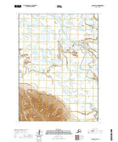
2020 · Chignik C-2 NW
USGS Topo · 1:25,000
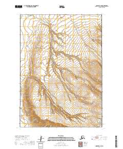
2020 · Chignik D-2 NE
USGS Topo · 1:25,000