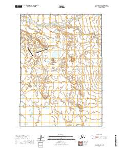
2020 Map of Chignik D-2 NW
USGS Topo · Published 2020About this map
Port Heiden occupies the central portion of this Peninsula landscape, situated along a complex network of coastal waterways and tundra lakes. The 2020 layout highlights the community's critical infrastructure, centered around the Port Heiden Airport and a series of dedicated access routes including Site Road and Lower Site Road. The drainage patterns of the region are clearly defined by several significant watercourses, such as Reindeer Cr to the north and the winding path of Barabara Cr to the south.
Find a feature on this map
22 named features on this map. Tap any name to fly to it.
Don’t see what you’re looking for? This feature index may not catch every label — zoom into the map to look around manually.
Map Details
Editions of this 2020 Chignik D-2 NW Map
This is the sole edition of this map. No revisions or reprints were ever made.
Other maps of this area

1951 · Bristol Bay
USGS Topo · 1:250,000

1963 · Bristol Bay
USGS Topo · 1:250,000
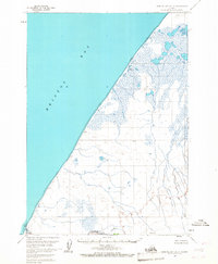
1963 · Bristol Bay A-2
USGS Topo · 1:63,360

1963 · Chignik D-3
USGS Topo · 1:63,360

1963 · Chignik
USGS Topo · 1:250,000

1963 · Chignik D-2
USGS Topo · 1:63,360
1967 · Bristol Bay
USGS Topo · 1:250,000
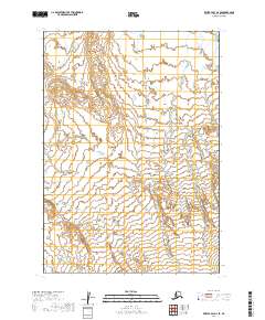
2019 · Bristol Bay A-2 SE
USGS Topo · 1:25,000
2019 · Bristol Bay A-2 OE W SE
USGS Topo · 1:25,000
2019 · Bristol Bay A-2 SW
USGS Topo · 1:25,000