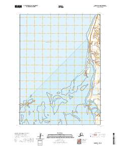
2020 Map of Chignik D-3 NE
USGS Topo · Published 2020About this map
Bristol Bay dominates the western half of this maritime landscape, where the tides interact with the shifting sands of the Alaska Peninsula. The settlement of Port Heiden occupies the eastern shore, serving as a vital hub for the region's transport and logistics. The infrastructure here is notably tied to aviation and resource exploration, as evidenced by the presence of Airport Road and Oil Well Road.
Find a feature on this map
11 named features on this map. Tap any name to fly to it.
Don’t see what you’re looking for? This feature index may not catch every label — zoom into the map to look around manually.
Map Details
Editions of this 2020 Chignik D-3 NE Map
This is the sole edition of this map. No revisions or reprints were ever made.
Other maps of this area

1951 · Bristol Bay
USGS Topo · 1:250,000

1963 · Bristol Bay
USGS Topo · 1:250,000
1963 · Bristol Bay A-2
USGS Topo · 1:63,360

1963 · Chignik D-3
USGS Topo · 1:63,360

1963 · Chignik
USGS Topo · 1:250,000

1963 · Chignik D-2
USGS Topo · 1:63,360
1967 · Bristol Bay
USGS Topo · 1:250,000
2019 · Bristol Bay A-2 OE W SE
USGS Topo · 1:25,000
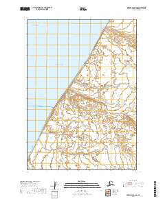
2019 · Bristol Bay A-2 SW
USGS Topo · 1:25,000
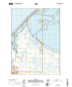
2020 · Chignik D-3 SW
USGS Topo · 1:25,000