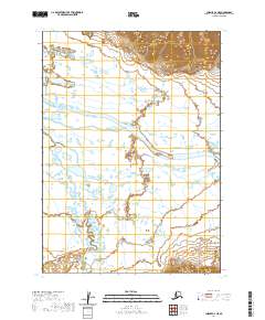
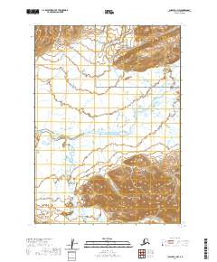
2020 Map of Chignik C-2 NE
USGS Topo · Published 2020About this map
The Meshik River meanders across this corner of the Alaska Peninsula, defining the low-lying drainage patterns of the Lake and Peninsula Borough. The landscape is characterized by a complex network of wetlands and small water bodies that feed into the main river channel and its tributaries, including Plenty Bear Cr and Landlocked Creek. Surveyed in the early 21st century, the map details the Public Land Survey System (PLSS) grid across multiple townships, such as t40s r58w and t41s r58w. The northern portion of the quadrangle shows a sharp transition into more elevated, contoured terrain, contrasting with the expansive river flats that dominate the central and southern sections. This area remains largely devoid of developed infrastructure, reflecting the wilderness character of the Chignik region.
Find a feature on this map
8 named features on this map. Tap any name to fly to it.
Don’t see what you’re looking for? This feature index may not catch every label — zoom into the map to look around manually.
Map Details
Editions of this 2020 Chignik C-2 NE Map
This is the sole edition of this map. No revisions or reprints were ever made.
Other maps of this area

1963 · Chignik C-1
USGS Topo · 1:63,360

1963 · Chignik C-2
USGS Topo · 1:63,360

1963 · Chignik
USGS Topo · 1:250,000

1963 · Chignik D-1
USGS Topo · 1:63,360

1963 · Chignik D-2
USGS Topo · 1:63,360

2020 · Chignik C-1 SW
USGS Topo · 1:25,000
2020 · Chignik D-1 SW
USGS Topo · 1:25,000
2020 · Chignik D-2 SW
USGS Topo · 1:25,000
2020 · Chignik C-2 NW
USGS Topo · 1:25,000
2020 · Chignik C-1 NW
USGS Topo · 1:25,000