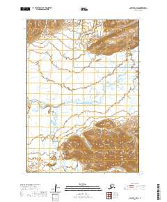
2020 Map of Chignik C-1 NW
USGS Topo · Published 2020About this map
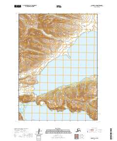
Aniakchak National Preserve and the Alaska Peninsula National Wildlife Refuge converge in this remote expanse of the Alaska Peninsula, where the landscape is defined by a dense network of glacial and snow-fed drainage systems. The Meshik River serves as the primary hydrological artery, winding through the center of the terrain and collecting tributaries like Plenty Bear Cr from the north and Blue Violet Creek from the south. The absence of roads or permanent settlements highlights the wilderness character of this area in the early 21st century. Instead, the map traces the intricate paths of Wolf Cr, Sleepy Cr, and Black Cr as they navigate the low-lying basins between significant topographical rises, illustrating the complex alluvial patterns typical of this subarctic environment.
Find a feature on this map
13 named features on this map. Tap any name to fly to it.
Don’t see what you’re looking for? This feature index may not catch every label — zoom into the map to look around manually.
Map Details
Editions of this 2020 Chignik C-1 NW Map
This is the sole edition of this map. No revisions or reprints were ever made.
Other maps of this area

1963 · Chignik C-1
USGS Topo · 1:63,360

1963 · Chignik C-2
USGS Topo · 1:63,360

1963 · Chignik
USGS Topo · 1:250,000

1963 · Chignik D-1
USGS Topo · 1:63,360

1963 · Chignik D-2
USGS Topo · 1:63,360
2020 · Chignik C-2 NE
USGS Topo · 1:25,000

2020 · Chignik C-1 SW
USGS Topo · 1:25,000
2020 · Chignik D-1 SE
USGS Topo · 1:25,000
2020 · Chignik D-1 SW
USGS Topo · 1:25,000
2020 · Chignik C-1 SE
USGS Topo · 1:25,000