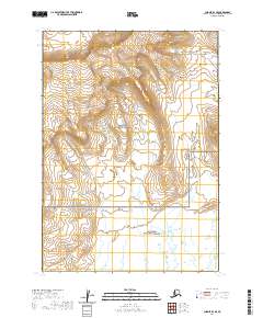
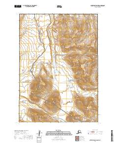
2020 Map of Chignik D-1 SE
USGS Topo · Published 2020About this map
The Meshik River defines the landscape of this region on the Alaska Peninsula, winding through the remote terrain of the Lake and Peninsula Borough. As a significant natural corridor, the river’s path illustrates the drainage patterns and hydrologic character of this undeveloped coastal area. The absence of roads, settlements, or structures in this 2020 record emphasizes the preservation of the native wilderness and the dominance of the river system over human infrastructure. Researchers focused on the Alaskan interior will find this map essential for tracking the exact course of the Meshik River as it flows through the varied elevations and tundra typical of the southwestern peninsula.
Find a feature on this map
1 named feature on this map. Tap any name to fly to it.
Don’t see what you’re looking for? This feature index may not catch every label — zoom into the map to look around manually.
Map Details
Editions of this 2020 Chignik D-1 SE Map
This is the sole edition of this map. No revisions or reprints were ever made.
Other maps of this area

1951 · Sutwik Island
USGS Topo · 1:250,000

1963 · Chignik C-1
USGS Topo · 1:63,360

1963 · Sutwik Island
USGS Topo · 1:250,000

1963 · Sutwik Island C-6
USGS Topo · 1:63,360

1963 · Chignik
USGS Topo · 1:250,000

1963 · Chignik D-1
USGS Topo · 1:63,360
1963 · Sutwik Island D-6
USGS Topo · 1:63,360
2019 · Sutwik Island D-6 SW
USGS Topo · 1:25,000
2019 · Sutwik Island C-6 NW
USGS Topo · 1:25,000
2019 · Sutwik Island D-6 NW
USGS Topo · 1:25,000