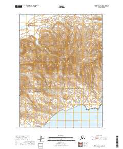
2019 Map of Sutwik Island C-6 NW
USGS Topo · Published 2019About this map
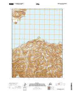
Aniakchak National Preserve dominates the northern reaches of this coastal Alaskan landscape, transitioning southward into the Alaska Peninsula National Wildlife Refuge. This 2019 survey documents a wilderness environment defined by the convergence of massive conservation boundaries and the waters of Kujulik Bay. The map provides a precise look at the drainage patterns of the peninsula, where small waterways like Shoe Cr and the N Fork carve through the elevation. Along the southeastern coastline, the Alaska Maritime National Wildlife Refuge encompasses the shoreline, reflecting the region's management by multiple federal agencies. The topographic detail captures the steep gradients and shoreline indentations of this part of the Lake and Peninsula Borough, documenting the land exactly as it was managed in the early 21st century.
Find a feature on this map
10 named features on this map. Tap any name to fly to it.
Don’t see what you’re looking for? This feature index may not catch every label — zoom into the map to look around manually.
Map Details
Editions of this 2019 Sutwik Island C-6 NW Map
This is the sole edition of this map. No revisions or reprints were ever made.
Other maps of this area

1951 · Sutwik Island
USGS Topo · 1:250,000

1963 · Chignik C-1
USGS Topo · 1:63,360

1963 · Sutwik Island
USGS Topo · 1:250,000

1963 · Sutwik Island C-6
USGS Topo · 1:63,360

1963 · Chignik
USGS Topo · 1:250,000

1963 · Chignik D-1
USGS Topo · 1:63,360
1963 · Sutwik Island D-6
USGS Topo · 1:63,360
2019 · Sutwik Island D-6 SW
USGS Topo · 1:25,000
2019 · Sutwik Island D-6 SE
USGS Topo · 1:25,000
2019 · Sutwik Island C-6 SW
USGS Topo · 1:25,000