
1963 Map of Sutwik Island C-6
USGS Topo · Published 1968About this map
Kujulik Bay dominates this coastal Alaska landscape, serving as the central geographic feature for several small outposts and seasonal camps. The shoreline is punctuated by isolated settlements such as Julik, Kyju, and Lik, which suggest a reliance on the maritime resources of the Pacific Ocean during the early 1960s. To the south, Cape Kumliun extends into the sea, defined by the drainage of Kumliun Creek and the presence of the Unavikshak Island offshore.
Find a feature on this map
17 named features on this map. Tap any name to fly to it.
Don’t see what you’re looking for? This feature index may not catch every label — zoom into the map to look around manually.
Map Details
Editions of this 1963 Sutwik Island C-6 Map
2 editions found
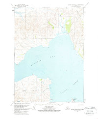
Other maps of this area

1951 · Sutwik Island
USGS Topo · 1:250,000

1963 · Chignik B-1
USGS Topo · 1:63,360

1963 · Chignik C-1
USGS Topo · 1:63,360

1963 · Sutwik Island B-6
USGS Topo · 1:63,360

1963 · Sutwik Island
USGS Topo · 1:250,000

1963 · Chignik
USGS Topo · 1:250,000
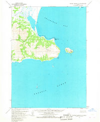
1963 · Sutwik Island C-5
USGS Topo · 1:63,360

1963 · Chignik D-1
USGS Topo · 1:63,360
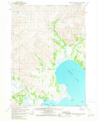
1963 · Sutwik Island D-5
USGS Topo · 1:63,360
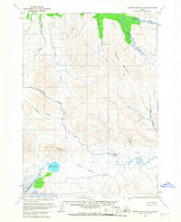
1963 · Sutwik Island D-6
USGS Topo · 1:63,360