
1963 Map of Sutwik Island B-6
USGS Topo · Published 1967About this map
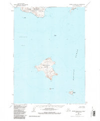
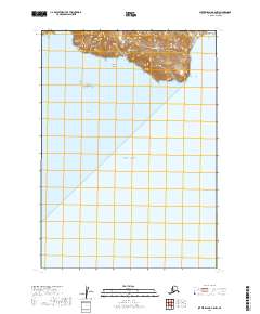
Nakchamik Island dominates the central waters of this maritime survey, rising to a peak at Nak Island amidst the expansive Chignik Bay. To the north, the mainland reaches into the sea at Cape Kumliun, a prominent coastal feature that overlooks the western entrance to the bay. This 1963 field-annotated map provides a detailed view of the remote island chain stretching southeast toward the open Pacific Ocean, including Unavikshak Island and its solitary Cabin.
Find a feature on this map
11 named features on this map. Tap any name to fly to it.
Don’t see what you’re looking for? This feature index may not catch every label — zoom into the map to look around manually.
Map Details
Editions of this 1963 Sutwik Island B-6 Map
2 editions found
Other maps of this area

1951 · Sutwik Island
USGS Topo · 1:250,000

1963 · Chignik B-1
USGS Topo · 1:63,360

1963 · Chignik C-1
USGS Topo · 1:63,360
1963 · Chignik A-1
USGS Topo · 1:63,360

1963 · Sutwik Island
USGS Topo · 1:250,000

1963 · Sutwik Island C-6
USGS Topo · 1:63,360

1963 · Chignik
USGS Topo · 1:250,000
1963 · Sutwik Island C-5
USGS Topo · 1:63,360
2019 · Sutwik Island C-5 SW
USGS Topo · 1:25,000
2019 · Sutwik Island B-6 NW
USGS Topo · 1:25,000