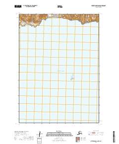
2019 Map of Sutwik Island C-5 SW
USGS Topo · Published 2019About this map
Aniakchak National Preserve and the rugged coastal boundary of the Alaska Maritime National Wildlife Refuge define this remote stretch of the Alaska Peninsula. The terrain is characterized by steep, north-facing slopes that drop precipitously toward the northern edge of the map, while the majority of the quadrangle is occupied by the open expanse of the Pacific Ocean. This survey captures the topographical interface between protected volcanic preserve lands and the maritime environment. The absence of roads or established settlements emphasizes the wilderness character of the Lake and Peninsula Borough. Public Land Survey System grids, including t41s r53w and t41s r52w, provide a cartographic framework over the vast water and high-relief coastal landforms.
Find a feature on this map
7 named features on this map. Tap any name to fly to it.
Don’t see what you’re looking for? This feature index may not catch every label — zoom into the map to look around manually.
Map Details
Editions of this 2019 Sutwik Island C-5 SW Map
This is the sole edition of this map. No revisions or reprints were ever made.
Other maps of this area

1951 · Sutwik Island
USGS Topo · 1:250,000

1963 · Sutwik Island B-6
USGS Topo · 1:63,360

1963 · Sutwik Island
USGS Topo · 1:250,000

1963 · Sutwik Island C-6
USGS Topo · 1:63,360
1963 · Sutwik Island C-5
USGS Topo · 1:63,360
2019 · Sutwik Island C-5 SE
USGS Topo · 1:25,000
2019 · Sutwik Island B-6 NE
USGS Topo · 1:25,000
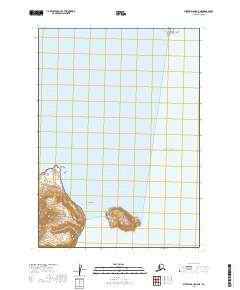
2019 · Sutwik Island C-5 NE
USGS Topo · 1:25,000
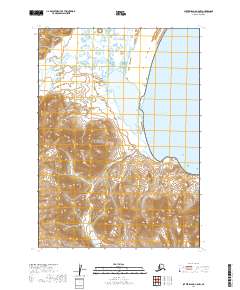
2019 · Sutwik Island C-5 NW
USGS Topo · 1:25,000
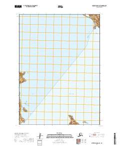
2019 · Sutwik Island C-6 SE
USGS Topo · 1:25,000