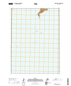
2019 Map of Sutwik Island B-6 NE
USGS Topo · Published 2019About this map
Unavikshak Island anchors the northern edge of this coastal survey, rising from the waters of the Pacific Ocean within the Lake and Peninsula Borough. The landscape is primarily defined by the maritime environment of the Shelikof Strait region, where significant underwater and surface hazards are documented. These include the prominent Katmai Reef to the southwest and the isolated Flat Top Rock further east. The map provides a clear look at the relationship between the remote islands and the complex bathymetry of the Alaskan coastline in the early twenty-first century. This specific quadrangle highlights a section of the sea largely devoid of permanent human settlements, focusing instead on the vital navigation landmarks and terrain features that define this stretch of the Aleutian Range's coastal fringe.
Find a feature on this map
8 named features on this map. Tap any name to fly to it.
Don’t see what you’re looking for? This feature index may not catch every label — zoom into the map to look around manually.
Map Details
Editions of this 2019 Sutwik Island B-6 NE Map
This is the sole edition of this map. No revisions or reprints were ever made.
Other maps of this area

1951 · Sutwik Island
USGS Topo · 1:250,000

1963 · Sutwik Island B-6
USGS Topo · 1:63,360

1963 · Sutwik Island
USGS Topo · 1:250,000

1963 · Sutwik Island C-6
USGS Topo · 1:63,360
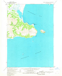
1963 · Sutwik Island C-5
USGS Topo · 1:63,360
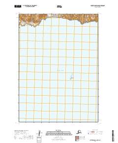
2019 · Sutwik Island C-5 SW
USGS Topo · 1:25,000
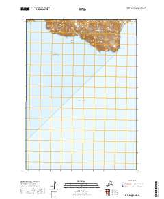
2019 · Sutwik Island B-6 NW
USGS Topo · 1:25,000
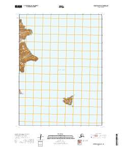
2019 · Sutwik Island B-6 SE
USGS Topo · 1:25,000
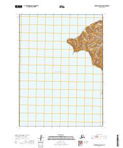
2019 · Sutwik Island B-6 SW
USGS Topo · 1:25,000
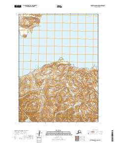
2019 · Sutwik Island C-6 SW
USGS Topo · 1:25,000