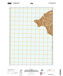
2019 Map of Sutwik Island B-6 SW
USGS Topo · Published 2019About this map
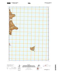
Nakchamik Island rises from the Pacific Ocean in this coastal Alaskan quadrangle, revealing a landscape defined by dramatic elevation changes. The island is characterized by its steep eastern slopes and more gradual western terrain, with several peaks reaching heights over 900 feet. To the southeast, the smaller Kak Island sits isolated in the open waters. This survey highlights the complex bathymetry and topography of the Lake and Peninsula Borough, where landmasses are sparse and dominated by the surrounding maritime environment. The mapping of t44s r54w and surrounding townships provides a technical look at the surveyed grid across this remote archipelago, capturing the precise contours of these uninhabited landforms as they existed in the early twenty-first century.
Find a feature on this map
6 named features on this map. Tap any name to fly to it.
Don’t see what you’re looking for? This feature index may not catch every label — zoom into the map to look around manually.
Map Details
Editions of this 2019 Sutwik Island B-6 SW Map
This is the sole edition of this map. No revisions or reprints were ever made.
Other maps of this area

1951 · Sutwik Island
USGS Topo · 1:250,000

1963 · Chignik B-1
USGS Topo · 1:63,360

1963 · Sutwik Island B-6
USGS Topo · 1:63,360
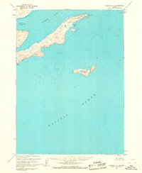
1963 · Chignik A-1
USGS Topo · 1:63,360

1963 · Sutwik Island
USGS Topo · 1:250,000

1963 · Chignik
USGS Topo · 1:250,000
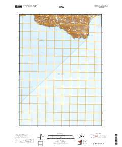
2019 · Sutwik Island B-6 NW
USGS Topo · 1:25,000
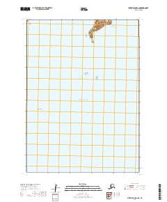
2019 · Sutwik Island B-6 NE
USGS Topo · 1:25,000
2019 · Sutwik Island B-6 SE
USGS Topo · 1:25,000
2020 · Chignik B-1 NE
USGS Topo · 1:25,000