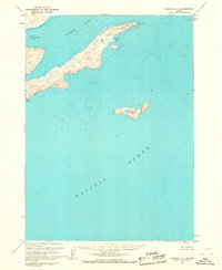
1963 Map of Chignik A-1
USGS Topo · Published 1967About this map
Castle Cape dominates the northern reaches of this maritime survey, a jagged projection of land that separates the waters of Castle Bay from the open Pacific Ocean. This coastal landscape in the early 1960s is defined by its deep inlets and scattered island geography, including the isolated Chankliut Island situated several miles offshore. Small protected waters like Nikolai Cove and Necessity Cove provide a break from the exposed coastline, while interior landmarks like Pudding and Why serve as fixed points of reference for the mariner and surveyor alike. The mapping reflects a detailed coordination between the Geological Survey and the Coast and Geodetic Survey, utilizing hydrographic data to document the complex shoreline and seafloor depths surrounding the Northwest Arm.
Find a feature on this map
11 named features on this map. Tap any name to fly to it.
Don’t see what you’re looking for? This feature index may not catch every label — zoom into the map to look around manually.
Map Details
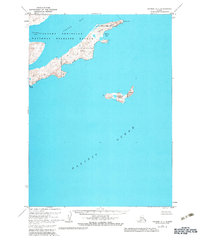
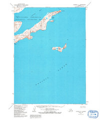
Editions of this 1963 Chignik A-1 Map
3 editions found
Other maps of this area

1951 · Stepovak Bay
USGS Topo · 1:250,000

1951 · Sutwik Island
USGS Topo · 1:250,000

1963 · Stepovak Bay D-2
USGS Topo · 1:63,360

1963 · Chignik B-2
USGS Topo · 1:63,360

1963 · Chignik B-1
USGS Topo · 1:63,360

1963 · Chignik A-2
USGS Topo · 1:63,360

1963 · Sutwik Island B-6
USGS Topo · 1:63,360

1963 · Sutwik Island
USGS Topo · 1:250,000

1963 · Chignik
USGS Topo · 1:250,000

1963 · Stepovak Bay
USGS Topo · 1:250,000