
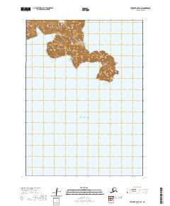
1963 Map of Stepovak Bay D-2
USGS Topo · Published 1967About this map
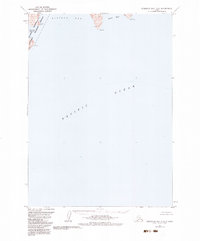
The remote coastline of the Alaska Peninsula is dominated by the deep waters of Kuiukta Bay and the exposed reaches of the Pacific Ocean. This coastal survey, based on aerial photography from 1962, documents a landscape where land meets sea through dramatic points like Cape Ikti and Seal Cape. The presence of Herring Lagoon tucked behind a narrow coastal strip suggests the dynamic tidal environments of this subarctic region. While the interior is largely unsurveyed, the detailed soundings and depth curves in Seal Bay reveal the essential maritime data compiled during the mid-1960s to support navigation along this undeveloped stretch of the Aleutian Range foothills.
Find a feature on this map
6 named features on this map. Tap any name to fly to it.
Don’t see what you’re looking for? This feature index may not catch every label — zoom into the map to look around manually.
Map Details
Editions of this 1963 Stepovak Bay D-2 Map
2 editions found
Other maps of this area

1951 · Stepovak Bay
USGS Topo · 1:250,000

1963 · Chignik A-2
USGS Topo · 1:63,360
1963 · Chignik A-1
USGS Topo · 1:63,360

1963 · Chignik A-3
USGS Topo · 1:63,360

1963 · Chignik
USGS Topo · 1:250,000
1963 · Stepovak Bay D-3
USGS Topo · 1:63,360

1963 · Stepovak Bay
USGS Topo · 1:250,000

1969 · Stepovak Bay
USGS Topo · 1:250,000
2020 · Stepovak Bay D-2 NW
USGS Topo · 1:25,000
2020 · Stepovak Bay D-3 SE
USGS Topo · 1:25,000